On this page +
Tallahassee Flood Zones and Leon County: the key distinction
Leon County directs property owners to the regional flood-information portal to view mapped special flood hazard areas.
Local water systems to keep in view
Leon County identifies stormwater-conveyance capacity toward Lake Jackson as a cause of flooding along Ben Boulevard.
Leon County’s stormwater history identifies Lake Lafayette among the county’s major urban basins.
Leon County’s flood resources direct residents to river-level monitoring for the Ochlockonee River.
Ask about mapped risk and observed drainage
Bring the available map information, any elevation certificate, prior water-intrusion history, and questions about grading or drainage changes. The examples above identify local water systems, not repetitive-loss designations for surrounding homes.
Discuss flood insurance separately
Ask about available NFIP and private-market options without assuming the contracts or eligibility are identical. Confirm the lender’s requirements and the effective-date instructions for the actual proposal.
The NFIP offers flood insurance for homeowners, renters, and businesses; FloodSmart notes that most homeowners and renters insurance does not cover flood damage.
FloodSmart states that owners of property in a high-risk flood zone with a government-backed mortgage must purchase flood insurance.
Before a purchase or renewal
- Check the current map for the parcel rather than the neighborhood name.
- Ask what prior drainage or flood information is available.
- Have an agent review the proposal and any lender instructions together.
A map is a starting point for the address
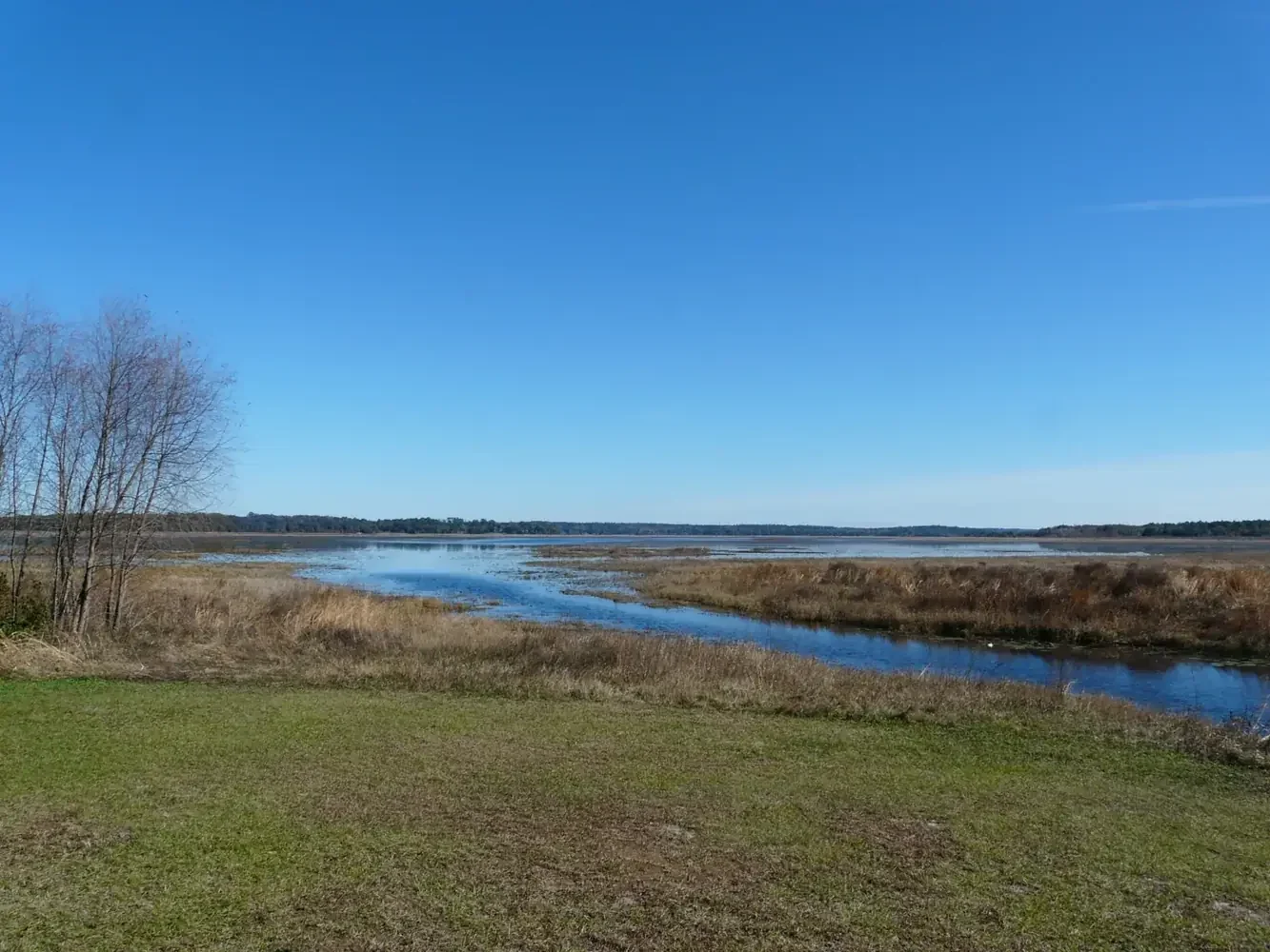
Use the exact property rather than a subdivision name when opening the FEMA or county map. Review the available information and ask for help if the building’s location or zone is unclear. A lake photograph and a regional drainage project do not determine a particular parcel’s risk. Keep any lender notice or elevation information available for the coverage conversation.
Discuss flood separately from ordinary property coverage
Ask whether the current policy includes flood and what separate options may be available. A mortgage requirement is not the only reason to ask the question, and being outside a mapped high-risk area is not a promise that flooding cannot occur. Describe the building and intended occupancy accurately so the request can be reviewed on its own facts.
Plan the effective date rather than assuming it
Tell the agent when coverage is needed and ask about any applicable waiting period or exception. Do not assume an online request creates immediate protection. Bring the purchase, renewal or lender deadline into the conversation and confirm the actual effective date before relying on the policy. Keep the map information with the quote, while remembering that the contract determines coverage.
Helpful Tallahassee
and Florida resources
Ready to discuss the property or vehicle? Continue to home insurance requests.
Turn your next question into a clear next step.
Have your current documents nearby. Tell a licensed Florida agent what you want to protect, what concerns you and when you need an answer.
Last reviewed:
Sources for this page
- https://cms.leoncountyfl.gov/Government/Departments/Development-Support-Environmental-Management/Flood-Protection/Floodzone-Maps
- https://cms.leoncountyfl.gov/Business/County-Projects/Ben-Boulevard-Drainage-Improvement
- https://cms.leoncountyfl.gov/leadingtheway/History/1980s
- https://cms.leoncountyfl.gov/Government/Departments/Development-Support-Environmental-Management/Flood-Protection
- https://www.floodsmart.gov/get-insured/buy-a-policy
- https://www.floodsmart.gov/flood-zones-and-maps/what-is-my-flood-risk